Land Surveying Services to Accurately Locate Specific Points and Boundaries
Land Surveying Services
- ALTA/NSPS land title survey
- Boundary survey
- Cemetery survey
- Construction staking
- County surveyor
- Expert witness testimony
- FAA survey
- FEMA survey
- Geodetic leveling
- GIS survey
- Hydrographic survey
- Legal descriptions
- NRCS survey
- Pipeline survey
- Platting
- Resort survey
- Right-of-way plat
- Telecommunication survey
- Topographic survey
- Tribal survey

Working at Widseth has been quite the experience. It’s a very diverse workplace. From AutoCAD experience to in the field staking, doing property surveys, it’s very all inclusive.
Our Process
01
Listen & Plan
We start by listening to what you need. Then, we come up with a plan to get your job done.
02
Collect Data
Next, our team mobilizes and performs the necessary survey work.
03
Deliver Final Survey
Deliver a polished Certificate of Survey with all necessary information included.

Land Surveying Services for Public and Private Clients
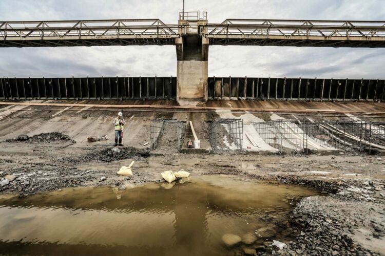
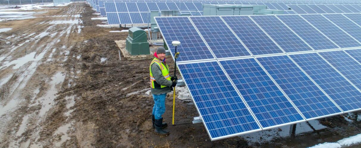
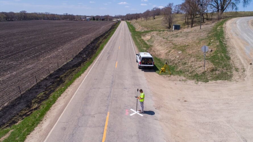
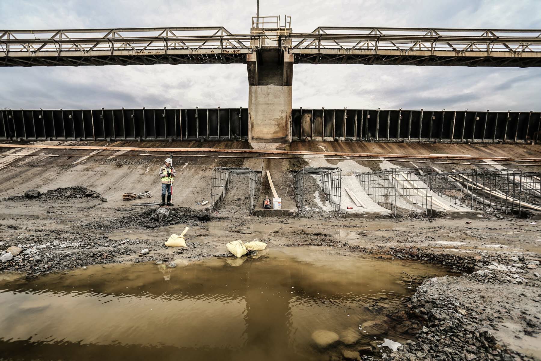
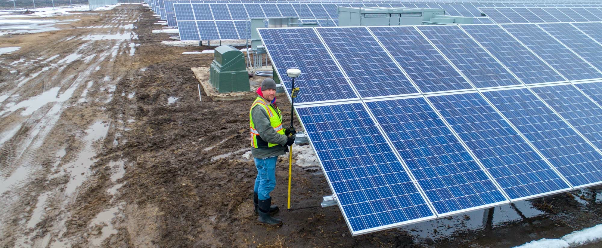
Widseth’s land surveyors and technicians perform a variety of services for clients throughout the Midwest. Our private-sector work ranges from single lots to subdivision plats and from construction staking to topographical surveys. Public sector work—for clients such as the Department of Transportation, the Department of Natural Resources, USDA Forest Service, counties, and cities—typically involves GPS control projects (whether small or large), section subdivisions, monumentation, road and underground utility staking, and road surveys for reconstruction and bridge design. Our team includes a Certified Federal Surveyor and a Certified Hydrographer who are ready to tackle your specific circumstances.
Bridge Plaza Series with Chloe Aanenson: Episode 2 — Surveying
Join Chloe on her quest as she gets a behind-the-scenes look at Widseth’s Bridge Plaza project during construction. In this episode Chloe talks with Peter Oetliker, LS, to learn what a land surveyor does on a project like this. Follow the entire series!
Bridge Plaza is a five-story development that includes dining, retail, Class A office space, and upscale apartments. Located between two major entry points to Mankato’s downtown district, Bridge Plaza will transform a highly visible yet underutilized lot.

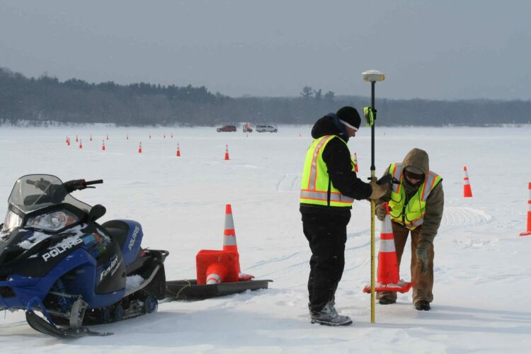
Hydrographic Surveying on Goose Lake with Juergen Brunkhorst
Watch Widseth’s Juergen Brunkhorst, LS, CH, as he performs a hydrographic survey on Goose Lake. The Minnesota DNR retained Widseth to conduct a survey of the lakebed prior to the Department’s dredging project as well as periodic quantity surveys to measure the progress of the dredging operation. The removal of three to four feet of sediment from an eight-acre area of the lake improved fish habitat and boat access.
Widseth Surveyors Complete Aitkin County Remonumentation Project
Widseth’s survey team worked with Aitkin County on a remonumentation project to locate section corners in an area north of Lake Mille Lacs. The original corners in this location were established in 1858 by the United States Government Deputy Surveyor and his crew. It’s important to locate section corners because they serve as reference points for all other surveys. Aitkin County residents can feel confident moving forward knowing that their property surveys will be highly accurate.
Land of 10,000 Stakes — Why Construction Staking is Important
Construction staking ensures projects are built as designed and is an important part of any project. Contractors rely on the stakes for horizontal and vertical locations of project infrastructure. Our crews establish critical points using GPS and Robotic Total Stations to mark specific features — such as curbs, building footprints, utility lines, manholes, fire hydrants, catch basins, stormwater ponds, light poles, and more. If it’s going to be built, we stake it first.
Widseth field survey crews perform construction staking each year on all sorts of projects, including municipal streets & utilities, commercial developments, landfills, cell towers, pipelines, and home construction. We pound between 7,000 and 10,000 stakes into the ground each construction season!
Land Surveying News

Spring is nearly here, which means yellow-vested land survey crews will be popping up everywhere. You see them in the…

In real estate transactions, you and your clients want to avoid surprises or even disputes after the transaction. An accurate…

Professional land surveyor Tony Palcich has joined Widseth’s team in Hibbing. Tony has more than 12 years of land surveying…